My first countryside excursion of 2014 was to investigate a
man-made hole. For 2015 I choose a different bigger hole which I've meant to
visit for a long time: the
Fauld Crater. What was different this year is
that we made it an OpenStreetMap mapping and social event!
 |
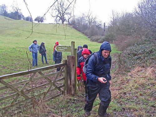
| Mapping footpaths for OpenStreetMap near the Fauld Crater, East Staffordshire |
I'd mentioned at our last
pub meeting of the year that I fancied doing some footpath mapping between Christmas & the New Year. Coincidentally Rob Nickerson of
Mappa Mercia
asked if we were organising anything after Christmas. So the idea of 2
or 3 of us getting together grew to the notion of linking up with Mappa
Mercia. So in the end the meeting had quite a diverse set of
goals:
- Do some mapping together
- Walk and map unmapped footpaths
- An excuse for a post-Christmas walk
- Link up socially with Mappa Mercia
- Initiate another type of OSM activity in the (East) Midlands
