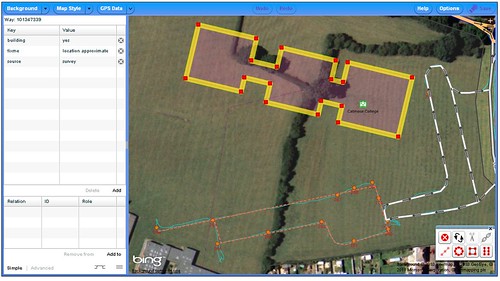
It proved that my quick photos taken in the rain were not a very good guide to the actual location of the building (compare with the actual GPS traces in this screen snapshot):
As I walked up to the entrance to the Sports Centre I reflected that at some stage most mapping should become like this. A short stop off to grab the new details of the changed area, and a quick and simple edit session to finish off. We're a long way from that point, but before we get there we'll need better ways to identify areas with changes and to manage checking their status.
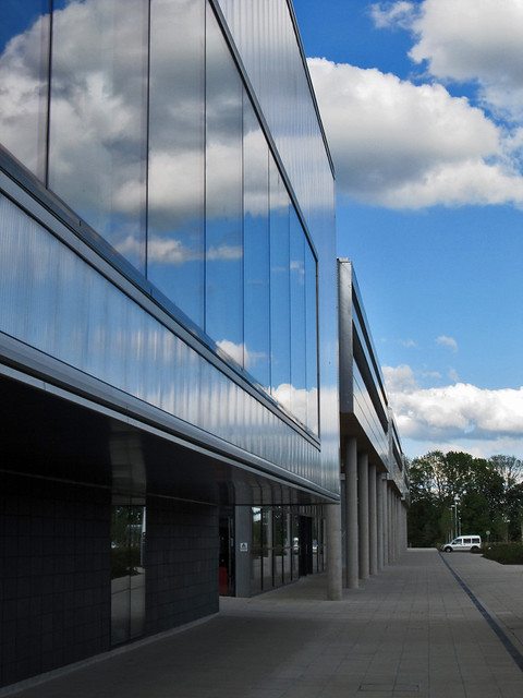
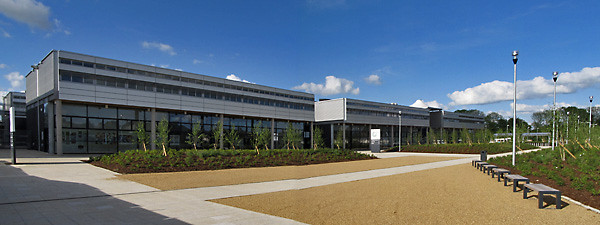
All-in-all a more satisfying mapping experience than last time I was in Oakham: the weather was nicer too.
No comments:
Post a Comment
Sorry, as Google seem unable to filter obvious spam I now have to moderate comments. Please be patient.