 |
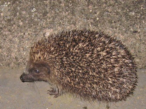
| My last hedgehog sighting in Britain: Elston, Nottinghamshire 2010. |
One of my great joys with OpenStreetMap (and other (mainly) geographical Open Data) is that it provides a way into answering intriguing analytical questions.
A few weeks ago the query was from a Hedgehog ecologist: naturally I learnt of the query through OSM (via IRC to be precise).
The question was very simple:
What proportion of Britain's land area is more than 100 m from a road?
The reason it is germane for hedgehogs is that historically they have had a very high mortality from crossing roads. These days they are so rare, that spotting a squashed hedgehog is itself a rarity. Certainly this cartoon would not have the same resonance it did when it first appeared in the 1970s.
To answer the query is fairly straightforward: providing one has either a GIS tool or database to hand AND a full data set of British roads. QGIS and PostGIS were available & I also have a full set of OSM data for May 2015 in the latter.