At State of the Map Europe in Karlsruhe I used the opportunity to develop some of the themes I have already outlined for
woodland mapping. Essentially I have three lines of attack:
- extending the cartography of woodlands in OSM ;
- finding richer ways of tagging woodlands in OSM ;
- looking at how we can collect data about woodlands (mapping).
I didn't do anything about the second, but gave a
lightning talk outlining just some ideas about woodland cartography (I got a few more over the course of the conference). For the latter I thought the best approach would be to get some OSMers in some real woods because real things are much easier to discuss than abstract ideas on the wiki.
We spend much of the conference listening and discussing abstract ideas, and (too) little time using the fact that we come from many countries to share our knowledge of tagging. (A little Guerilla Mapping is not out of place too). So this was a small innovation for an SotM conference too.
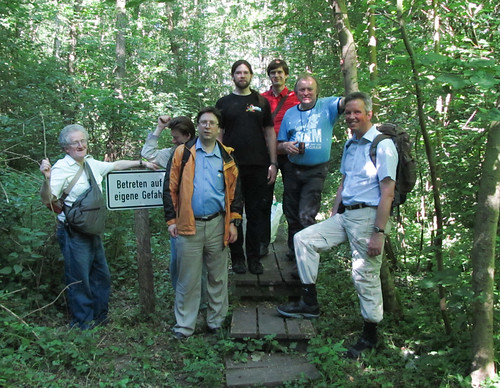 |
Participants on Woodland Mapping Workshop, Karlsruhe June 2014
(minus the author who can be seen in this photo) |
I was fortunate in the first place that the Karlsruhe Stammtisch offered some good ideas and advice and the conference organisers chose to add the event to the programme. Secondly, I was fortunate in being supported by more OSMers than I expected: and I know I lost a few due to the early start (necessary to enable not missing the whole Hackday).


